Chamerion angustifolium
(Fireweed)

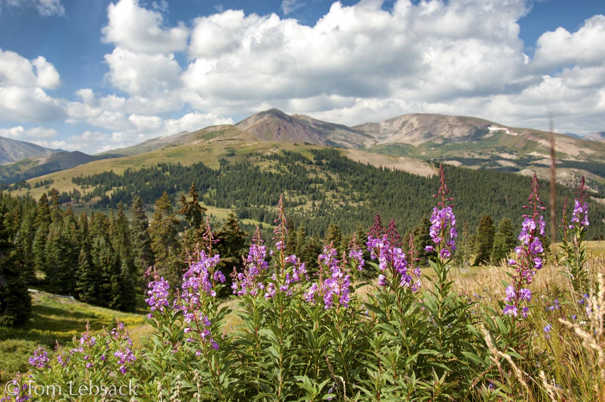
Chamerion angustifolium, Breckenridge, Summit Co. 1367
Chamerion angustifolium, along FR 788 near Los Pinos, Saguache Co. 3246
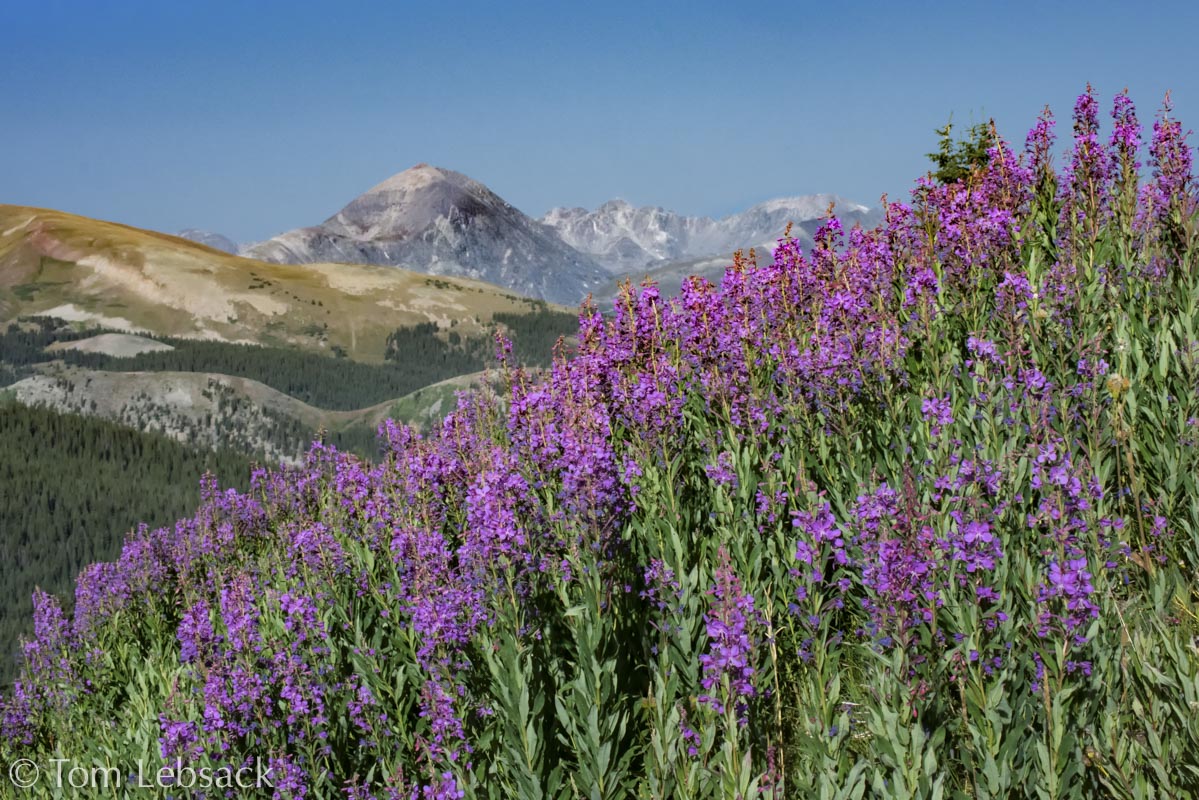
Chamerion angustifolium ssp. angustifolium, Black Powder Pass, Summit Co. 9683
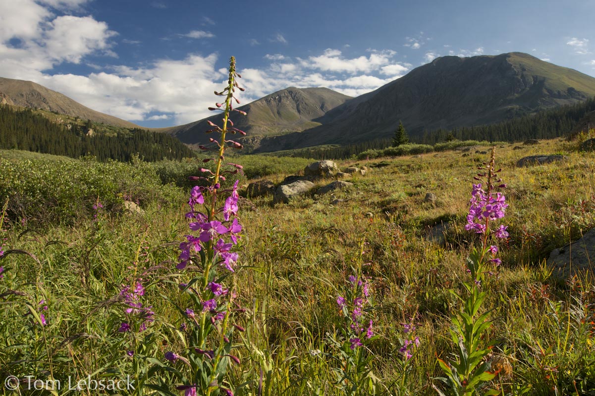
Chamerion angustifolium ssp. angustifolium, Black Powder Pass, Summit Co. 4367
Chamerion angustifolium ssp. angustifolium, Black Powder Pass, Summit Co. 4362
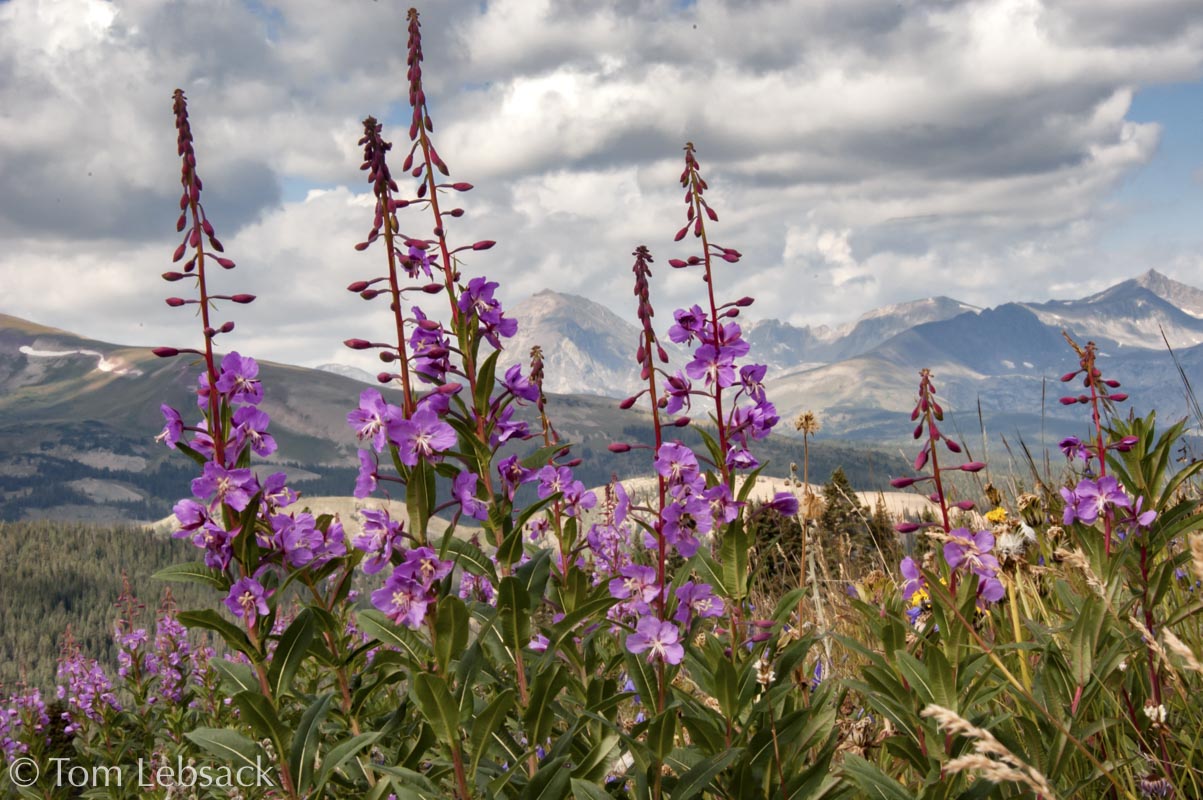
Chamerion angustifolium, Chihuahua Gulch, Summit Co. 1597
Chamerion angustifolium, Miner’s Creek, Summit Co. 5906
Stem Leaves, Chamerion angustifolium, along FR 788 near Los Pinos, Saguache Co. 3250
| Scientific Name | Chamerion angustifolium | USDA PLANTS Symbol | CHANA2 |
| Common Name | Fireweed | ITIS Taxonomic Serial No. | 566019 |
| Family | Onagraceae (Evening Primrose) | SEINet Reference |
Click Here |
| Description | Life zones and habitat: Foothills to subalpine (5300 to 12500 ft.) (ssp. angustifolium above timberline); forests, meadows, streamsides. Plant: Erect, multi-stemmed perennial, 18 to 48 inches tall. Leaves: Lanceolate to elliptic, 2 to 8 inches long; alternate or the lower leaves opposite, sessile or nearly so; smooth surfaces and edges and prominent veins. Inflorescence: Terminal racemes of numerous (more than 15) pink or magenta flowers, each about 1-inch across with 4 petals and 4 narrower, pointed sepals beneath of a similar color; prominent protruding stamens (8) with dark anthers and white 4-lobed stigma that extends beyond stamens; inconspicuous bracts are not leafy. Bloom Period: July to September. References: "Flora of Colorado" by Jennifer Ackerfield, "Guide to Colorado Wildflowers" by G.K. Guennel, "Alpine Flora of the Rocky Mountains" by Richard Scott, SW Colorado Wildflowers and SEINet. |
BONAP Distribution Map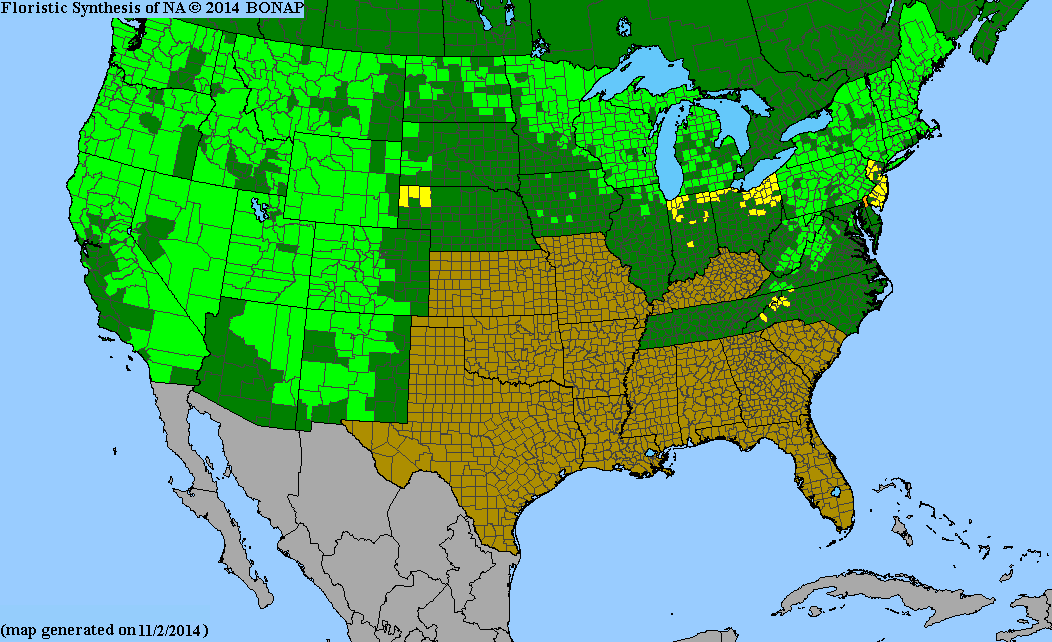 Map Color Key |
Colorado Status: Native |
© Tom Lebsack 2026
Banner photo: Castilleja rhexifolia and a brewing storm over the San Juan Mountains
I try to provide accurate, up-to-date, and relevant information, but cannot guarantee the completeness or accuracy of any information presented on this website. I use authoritative references to insure high standards of accuracy and review and update the information frequently.